Worldwide Dams
Click Here To Try This Layer
| Source: | International Commission on Large Dams |
| Updated: | 10/1/2015 |
| Records: | 6,862 |
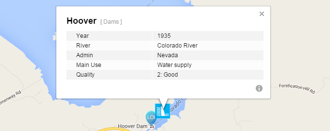
This layer represents the Global Reservoir and Dam Database. The dams were geospatially referenced and assigned to polygons depicting reservoir outlines at high spatial resolution. Clicking a point found with Location of Interest (LOI) search will show a bubble including Dam Name, River, Administrative Body, Year, Main Use, Quality, and URL if one exists.