West Virginia LiDAR

Click Here To Try This Layer
| Source: | WVU, USGS, TAGIS, AmericaView |
| Updated: | 6/5/2018 |
| Records: | 6,000+ |
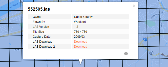
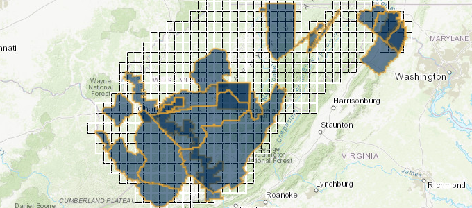
This layer represents grids for available LiDAR data from the State of West Virginia. uGRIDD users will have access to metadata and LAS download after selecting a tile.

Data Info
West Virginia View is sponsored by AmericaView and the USGS. The lidar download tool, which was created by the WV GIS Technical center, is available at wvgis.wvu.edu/lidar. The cooperation of the WV Department of Environmental Protection Technical Applications and GIS Unit (TAGIS) is gratefully acknowledged. For more information about the Lidar download tool, please contact Tim Warner at Tim.Warner@mail.wvu.edu.