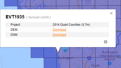
Vermont LiDAR
| Coverage | uFIND Bubble | |
 |
 |
| Source: | FEMA, USGS, CCMPO, VT ANR, NRCS, VTRANS |
| Updated: | 8/9/2017 |
| Records: | 9,422 |
This layer represents aerial LiDAR tiles for the State of Vermont. When a tile is selected in uFIND using a Location of Interest (LOI), the bubble will provide direct download links.