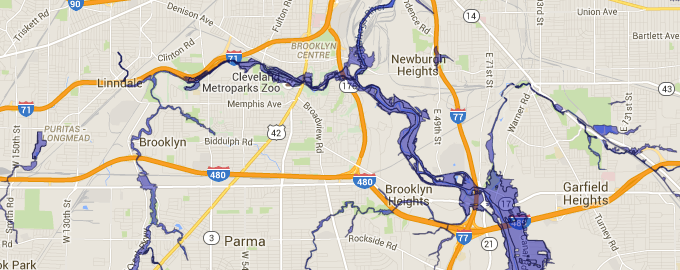
NOACA Flood Plains
Click Here To Try This Layer
| Source: | OhioDOT |
| Updated: | 1/14/2016 |
| Records: | 6225 |
This layer represents the Flood Plains for Northern Ohio. Users will have access to this layer in the side pane when a Location of Interest (LOI) is placed near available records.
