Kentucky LiDAR

Click Here To Try This Layer
| Source: | Kentucky Division of Geographic Information |
| Updated: | 4/27/2018 |
| Records: | 46,000+ |
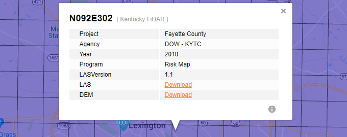
This layer represents the polygonal grids for available tiled LAZ and DEM in Kentucky. Users will have access to this layer in the side pane when a Location of Interest (LOI) is placed near available records.
Data Info
LiDAR was collected at a 0.68 meter point spacing for the entire project area while no snow was on the ground and rivers were at or below normal levels.All mapping products will be delivered in Kentucky Single Zone State Plane coordinates (parameters defined in FIPS 1600, and units of U.S. Survey Feet), NAD83* geometric datum (NSRS2007 or CORS96 adjustment), and NAVD88 vertical datum. GPS derived NAVD88 heights will use the Geoid09* model. [* Use most current adjustment and geoid model available from the National Geodetic Survey at time of data processing]