Rhode Island LiDAR
| Coverage | uFIND Bubble | |
 |
 |
| Source: | RIGIS |
| Implemented: | 8/8/2017 |
| Records: | 1,553 |
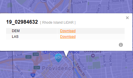
This layer shows the polygonal representation of LiDAR for the entire State of Rhode Island. Each index polygon provides download links to Classified Point Cloud LAS data and Bare Earth DEM IMG data.