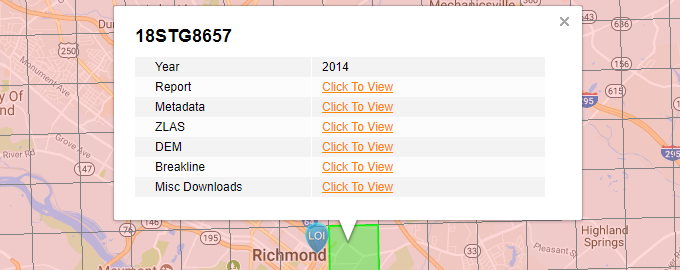
This layer represents the LiDAR project area footprints for the State of Virginia. When the user selects a tile, the pop-up bubble will show Tile Name, Project Year and links to Report, Metadata, ZLAS, DEM, Breakline and Misc Downloads. This is a third party layer managed by VGIN so it should always be up-to-date.