Connecticut LiDAR

Click Here To Try This Layer
| Source: | Connecticut Environmental Conditions Online |
| Updated: | 4/27/2018 |
| Records: | 23,359 |
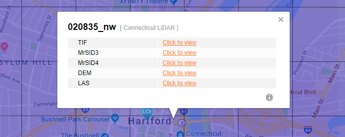
This layer represents the grids for available LiDAR data from the State of Connecticut. Users will have access to this layer in the side pane when a Location of Interest (LOI) is placed near available records. When a tile is selected, the pop-up bubble will show LiDAR index number and all available data formats detailed in the table below.